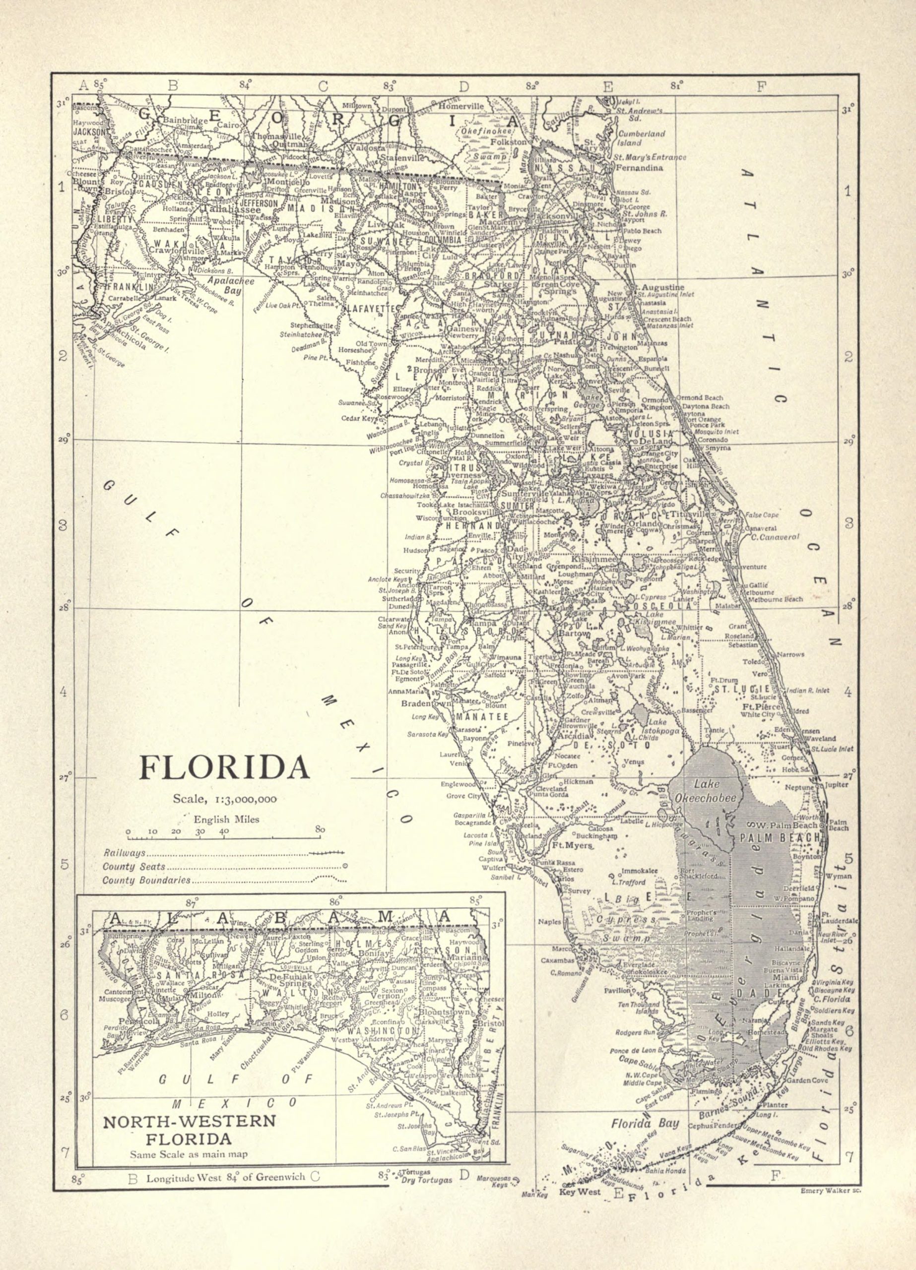
Vintage map of Florida from 1911. Though the map remains generally the same, the state has certainly grown in all those years. Back in 1911, there were around 753,000 people living there. It was the least populous state in the southeast. But, by 1960, Miami-Dade county alone had grown to 935,047. By the 2010 census, Florida became the most populous state in the southeastern US and the third-most populous state in the country.
America’s sunshine state was the 27th state admitted to the union.
A few fun facts about Florida…
The Florida keys is a series of around 1,700 tiny islands.
The third largest coral reef barrier reef system is the Florida Reef.
Residents of Florida are not all in the same time zone. Nine counties are an hour behind all of the others.
General Andrew Jackson, the first military governor, never stepped foot in the city that would be named for him.
Florida was given its name by the Spanish explorer Juan Ponce de Leon – he called it La Florida, the land of flowers.
Anyway, there’s plenty of other places to learn more about this state. For now, let’s just enjoy this public domain and vintage map of Florida. Click on the one displayed below to access our largest version.
This image is copyright free and in the public domain anywhere that extends copyrights 70 years after death or at least 120 years after publication when the original illustrator is unknown.