Ah Belgium, that little country situated between France and Germany. So important during the World Wars and yet, we are taught so little about it in school.
This vintage Belgium map shows a number of things fairly quickly. Two of the countries which surround Belgium have changed names – Holland and the German Empire. And, while it might look like a bit of a mistake, there are two places identified as Luxemburg. One is a province of Belgium, the other is the independent country of Luxemburg. What this map also shows is the German spelling of the two. The English spelling is actually Luxembourg.
Aren’t these old maps fun. They are great for backgrounds of creative projects. They are also great for learning history and how the world has changed from the time of the publication of the 1911 Encyclopedia where this map was found.
I got lucky with this one and can share with you a fairly large version of this vintage map of Belgium and Luxembourg. The map image shown here is a bit smaller to fit on the page and save bandwidth. To access the full-sized map, just click on the one below.
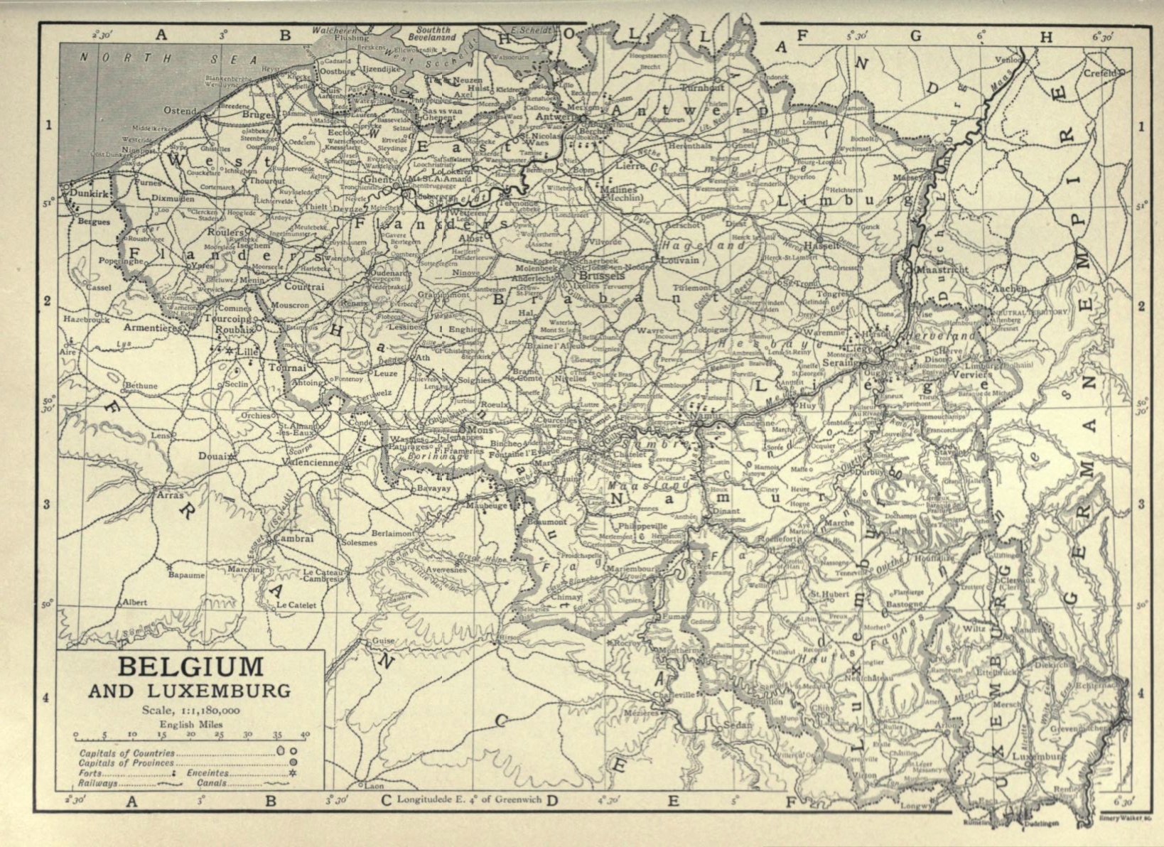
This image is copyright free and in the public domain anywhere that extends copyrights 70 years after death or at least 120 years after publication when the original illustrator is unknown.