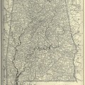
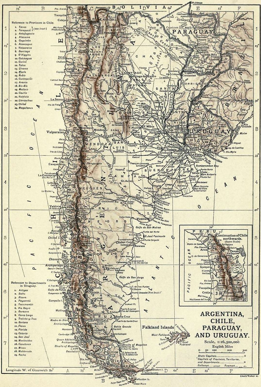
I don’t know very much about Argentina other than where to find it on a global map and that they speak Spanish. So, I don’t have much to offer with regards to whether or not the map of Argentina is very different today from 1910. The map was part of the entry for Argentina in the 1911 Encyclopedia. It also shows Chile, Paraguay and Uruguay.
Argentina is relatively easy to find on a map. It is a long, narrow country that runs up the side of the lower portion of South America. The encyclopedia listed the population, as of a flawed 1904 census, as 5,410,028. The population today is over 43 million. Amerigo Vespucci was among the first Europeans to explore the region in 1502. In 1535, the settlement of Buenos Aires was founded. Buenos Aires would be later abandoned but more immigrants settled there and it would later become the capital city. Argentina declared their independence from Spain and would adopt a constitution in 1853.
I have included the original scan and have not edited the map at all. Unfortunately, there is a bit of pixelation but I think if used in a smaller size, you won’t see them at all. To view and download the larger version, simply click on this map of Argentina.
This image is copyright free and in the public domain anywhere that extends copyrights 70 years after death or at least 120 years after publication when the original illustrator is unknown.